IEC 61174 pdf download
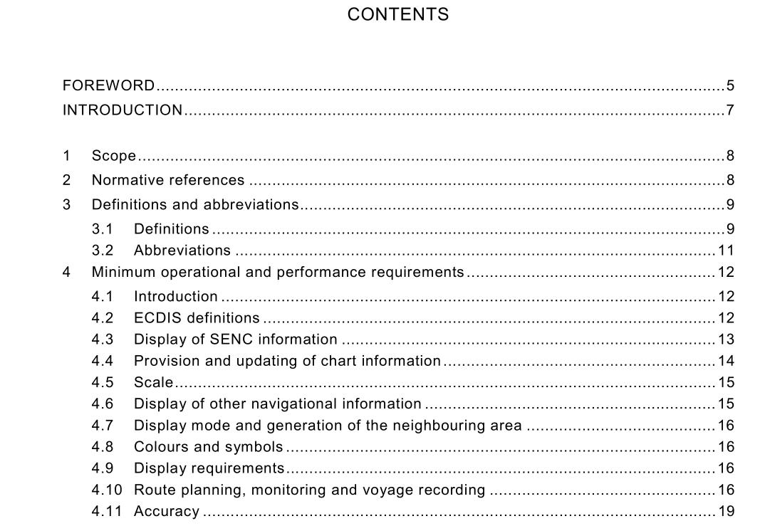
IEC 61174 pdf download.Maritime navigation and radiocommunication equipment and systems
1 Scope
This International Standard specifies the performance requirements, methods of testing and required test results of equipment conforming to performance standards not inferior to those adopted by the IMO in resolution A.817 as amended by annex 5 to IMO resolution MSC.64 and annex 4 to IMO resolution MSC.86. This standard is based upon the performance standards of IMO resolution A.817, and is also associated with IMO resolution A.694 and IEC 60945. Reference is made, where appropriate, to IMO resolution A.817, and all subclauses whose wording is identical to that in the resolution are printed in italics. In association with the above IMO resolution A.817, are the International Hydrographic Organization (IHO) special publications S-52, S-57 and S-61. This standard has included extracts from the above publications where they are applicable to this equipment. Where reference is made, all subclauses whose wording is identical to that in the publications, are printed in italics. The requirements of this standard are not intended to prevent the use of new techniques in equipment and systems, provided the facilities offered are not inferior to those stated.
3 Definitions and abbreviations
Definitions of ECDIS related terms pertaining to IMO performance standards for ECDIS are listed in 4.2. A glossary of ECDIS related terms is included in S-52, appendix 3. For the purpose of this International Standard the following definitions and abbreviations apply. 3.1 Definitions 3.1.1 CIE colour calibration procedure to confirm that the colour specified in S-52, appendix 2 is correctly reproduced on the ECDIS display 3.1.2 common reference system sensor input data, providing identical and obligatory reference pertaining to position, course, heading, bearing, speed, velocity, etc. and horizontal datum to different subsystems within an integrated navigation system 3.1.3 compilation scale scale with which the chart information meets the IHO requirements for chart accuracy. It is established by the producing hydrographic office and encoded in the ENC 3.1.4 corrupted data ENC data produced according to the S-57 ENC product specification, but altered or modified during production, transmission, or retrieval 3.1.5 degrade reduce the quantity or quality of information content 3.1.6 display redraw time interval from when the display starts to change until the new display is complete 3.1.7 display regeneration time interval from operator action until the consequent redraw is complete 3.1.8 display scale ratio between a distance on the display and a distance on the ground, normalized and expressed as, for example, 1:10 000 3.1.9 ENC cell geographic division of ENC data for distributing purposes. For further information, refer to the ENC product specification in S-57 3.1.10 ENC data data conforming to 4.2.2 3.1.11 ENC test data set standardized data set supplied on behalf of the IHO that is necessary to accomplish IEC testing requirements for ECDIS. This data set is encoded according to the S-57 ENC product specification and contains update information based on S-52, appendix 1. The specific requirements are listed in annex F 3.1.12 non-ENC data data not conforming to 4.2.2 3.1.13 overscale display of the chart information at a display scale larger than the compilation scale. Overscaling may arise from deliberate overscaling by the mariner, or from automatic overscaling by ECDIS in compiling a display when the data included is at various scales 3.1.14 presentation library implementation of the display specifications in S-52, appendix 2 “Colour and Symbol Specifications for ECDIS”, by de-coding and symbolizing the SENC. It contains: a) the ECDIS symbol library, including the IEC navigation symbols; b) the ECDIS colour tables for day, dusk, and night viewing; c) look-up tables, linking SENC objects to the appropriate colour and symbology; d) conditional symbology procedures for: – cases where symbolizing depends on circumstances, such as the mariner’s choice of safety contour; – cases where symbolizing is too complex to be defined in a direct look-up table; e) description of symbology instructions; f) mariner’s navigation objects, specified in the same format as chart objects for convenience of processing in ECDIS;
